Durmitor National Park is one of the most beautiful national parks in Montenegro, home to countless peaks, lakes, forests and the deepest canyon in Europe. Among the many things to do there, outdoor lovers will be won over by all the hiking trails.
But which hike should you do in Durmitor? Here’s a route we loved: the climb up Mount Prutaš!
Which hike to choose in Durmitor, Montenegro?
From easy walks to summit climbs, Durmitor National Park has plenty of hikes for every level.
The boldest can take on Bobotov Kuk, the park’s highest peak at 8,294 feet (2,528 m). The climb covers over 6.8 miles (11 km) and takes 6 to 7 hours.
We went for its little brother instead: Prutaš. This hike offers stunning views over all of Durmitor while remaining doable for the average hiker.
About the Prutaš and Škrčko Lakes hike
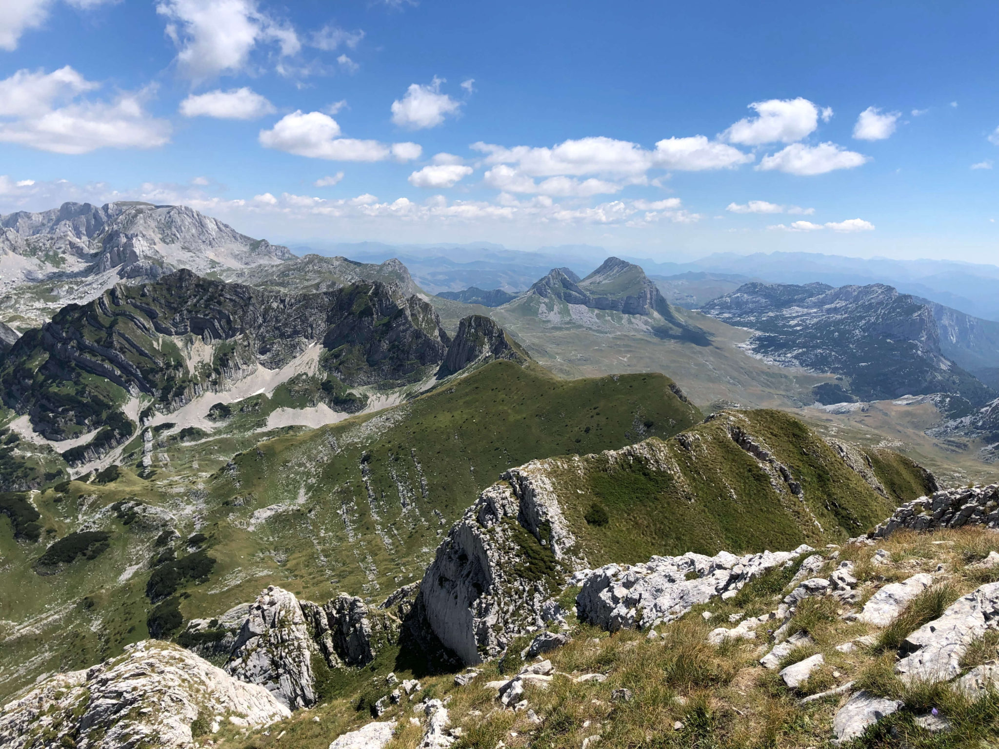
The park’s second-highest peak, Prutaš rises to 7,851 feet (2,393 m). From the top, you get a breathtaking view over all of Durmitor and Bobotov Kuk. The summit has lovely grassy slopes where it’s a pleasure to stop and enjoy the superb alpine panorama. Its name comes from its cliffs, called “Prutovi”, meaning “twigs”, because of their distinctive slanted, rod-like shape.
It’s also the ideal trail to admire Durmitor’s main and highest ridge, Soa Nebesak (“Altar of the Sky“). This rock wall connects three peaks: Bezimeni Vrh, Bobotov Kuk and Djevojka. About 1.2 miles (2 km) long and 2,625 feet (800 m) high, it shelters two superb lakes at its foot, Veliko Škrčko Jezero and Malo Škrčko Jezero.
The summit is easy to reach, especially in spring, summer and fall. In winter, snow makes the climb impossible.
Rather than simply going up and down the same way, we chose a trail that let us loop back via the Škrčko Lakes, to get a closer look at these two lakes at the foot of Bobotov Kuk’s dizzying slope.
How to hike Mount Prutaš
Before getting into the details of the route, here’s some practical information:
- Duration: 6 to 8 hours depending on your level
- Starting elevation: 5,610 feet (1,710 m)
- Summit elevation: 7,851 feet (2,393 m)
- Elevation gain: 3,609 feet (1,100 m)
- Difficulty: moderate, with a few slightly dizzying but manageable sections
- Trail markers: red and white circles, frequent and easy to spot
1. Get to the trailhead
The trail starts about a 25-minute drive from Žabljak, at the Dobri Do parking lot, easy to spot thanks to the big “Durmitor” frame set up there for photos. You’ll find two trails on either side of the parking lot, and both lead to the hike.

On the way to the trailhead, enjoy the many views along the Durmitor Ring, the scenic road that winds between the peaks of the Tara and Piva plateaus for about 50 miles (80 km).

2. Climb to the summit
The first part of the climb is a bit steep, but it quickly leads to plateaus that are easier to cross, until you reach a pass (after about 1 hour of walking).
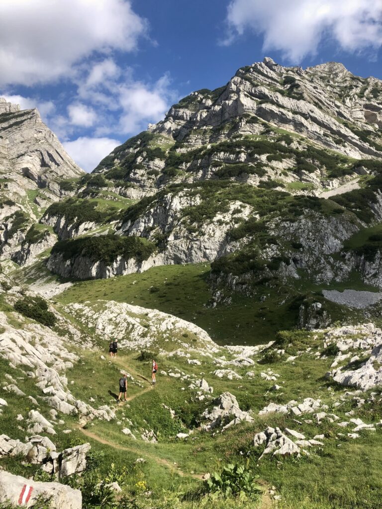

Once at the pass, take the uphill path on the left that follows the ridgeline (don’t take the downhill path, which will be your way back).
Here the trail gets a little trickier and requires scrambling over a few rocks: a dizzying experience, but not a difficult one. Keep following the red and white markers and you’ll reach the last, fairly steep climb that takes you to the summit.

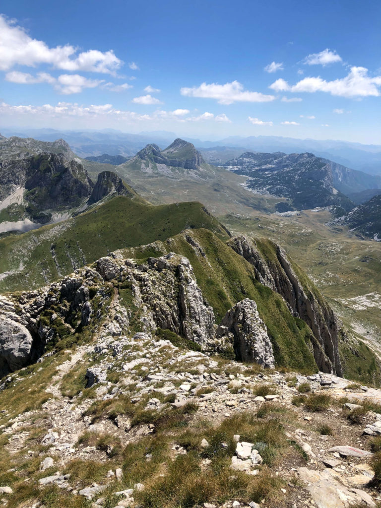
The view from the summit is breathtaking, and our photos will never do it justice. Probably the best panorama in Durmitor.
To the northeast, you can take in the Škrka valley and the peaks of Bobotov Kuk and Bezimeni Vrh. To the east, Štit peak, recognizable by its colorful layers. To the north, the Sušica canyon and Ljubišnja mountain, and to the south, Sedlena Greda, Boljska Greda and the entrance to the Komarnica River canyon.
From here, you can turn around and head straight back down to the parking lot, or take another trail that loops back via the lakes.
3. Head down to the Škrčko Lakes
Leave the summit heading north to reach a junction with the trail going up to Todorov Do. Keep right to take a grassy slope. Along the way, you’ll have a superb view of the two turquoise lakes below.
The descent is long and fairly steep, and takes you over different types of terrain (grass, rocks). Expect to use your hands on a few sections. Allow about 2 hours for the descent to reach another trail junction.

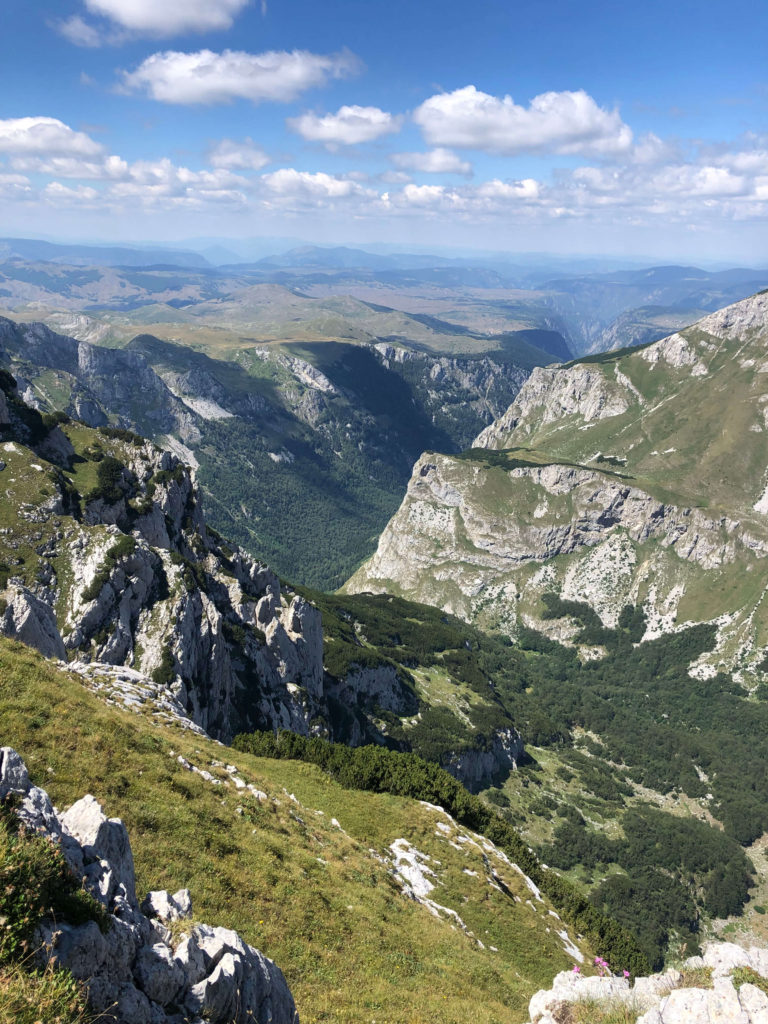
From here, you can go left toward the mountain hut and the lakes (about $2 entrance fee). If you’re brave enough, you can even swim in the lake at the foot of Bobotov Kuk’s rock face!
4. Finish the loop back to the parking lot
When you’re ready to head back, retrace your steps to the previous junction and take the path to the right, which leads back to the pass you crossed on the way up, but by a different route.
This section is a bit grueling, almost like doing the hike a second time, but the breathtaking views along the way make you forget the effort. After 1,312 feet (400 m) of elevation gain, you’re back at the pass, where you can follow the trail you took on the way up back to the parking lot.
We loved this hike: tiring, but so rewarding!